Нажмите кнопку «Смотреть онлайн» — вы перейдёте на карту с отображением транспорта в реальном времени по данным GPS/ГЛОНАСС.
बस 89 रेडिंग — схема маршрута и остановки
मार्ग योजना बस 89
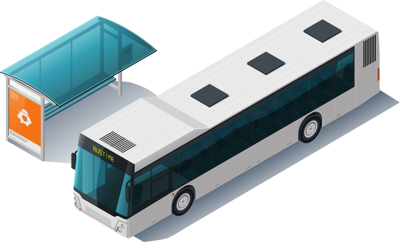
वाहन का प्रकार: बस
सेवा करता है: Reading Buses
मार्ग गुजरता है: रेडिंग
मार्ग की लंबाई: 21 किमी।
यात्रा का समय: 54 मिनट
निवास स्थान में वर्तमान समय: 1:04 बजे
ऑनलाइन देखें
Остановки маршрута 89 в रेडिंग
| दिशा 1 | दिशा 2 |
|---|---|
| 0 मार्ग पर | 0 मार्ग पर |
ऊपर
ऊपर
Как пользоваться расписанием Bustime
Сервис Bustime отображает актуальную информацию о движении общественного транспорта в реальном времени. На этой странице представлен маршрут बस 89 в रेडिंग: полный список остановок в обоих направлениях, схема движения на карте и текущее расположение транспорта.
Чтобы увидеть, где сейчас находится транспорт, нажмите кнопку «Смотреть онлайн». Для каждой остановки отображается расписание отправлений, если оно доступно. Карта маршрута показывает путь следования и расположение всех остановок.
Частые вопросы
Где проходит маршрут बस 89 в रेडिंग?
Какие остановки у маршрута 89?
Полный список остановок маршрута बस 89 с указанием направлений движения доступен выше на этой странице в разделе «Остановки маршрута».
Можно ли посмотреть маршрут на карте बस 89?
Подробная схема движения доступна на карте выше.